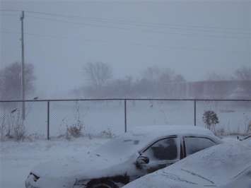
Sarnia-Lambton is in for a winter storm Wednesday evening and into Thursday.
Environment Canada said the region can expect snowfall amounts possibly exceeding 15 centimetres, poor visibility in heavy snow and local blowing snow, as well as a risk of freezing rain.
The national weather agency said this is the result of a forecasted low pressure system expected to move into the area on Wednesday evening.
It said confidence in the exact track of the low pressure system is uncertain at this point, but it is likely that snow will transition to freezing rain or rain late Wednesday night or Thursday morning.
If the track of the low pressure system shifts farther south, precipitation will remain predominantly snow, and significantly higher amounts will be possible.
Hazardous travel conditions are likely Wednesday evening into Thursday morning.
Motorists are urged to consider postponing non-essential travel until conditions improve.